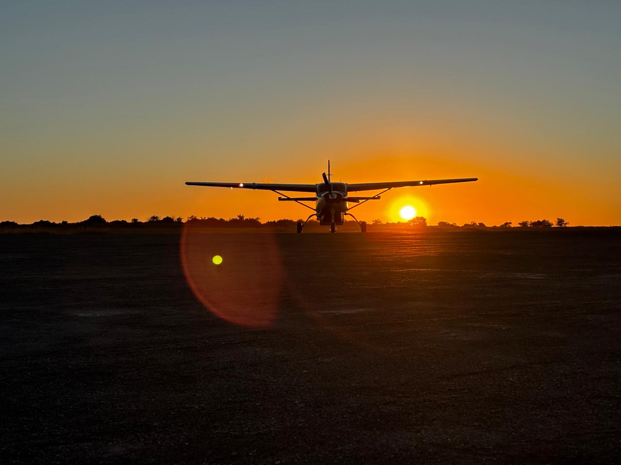

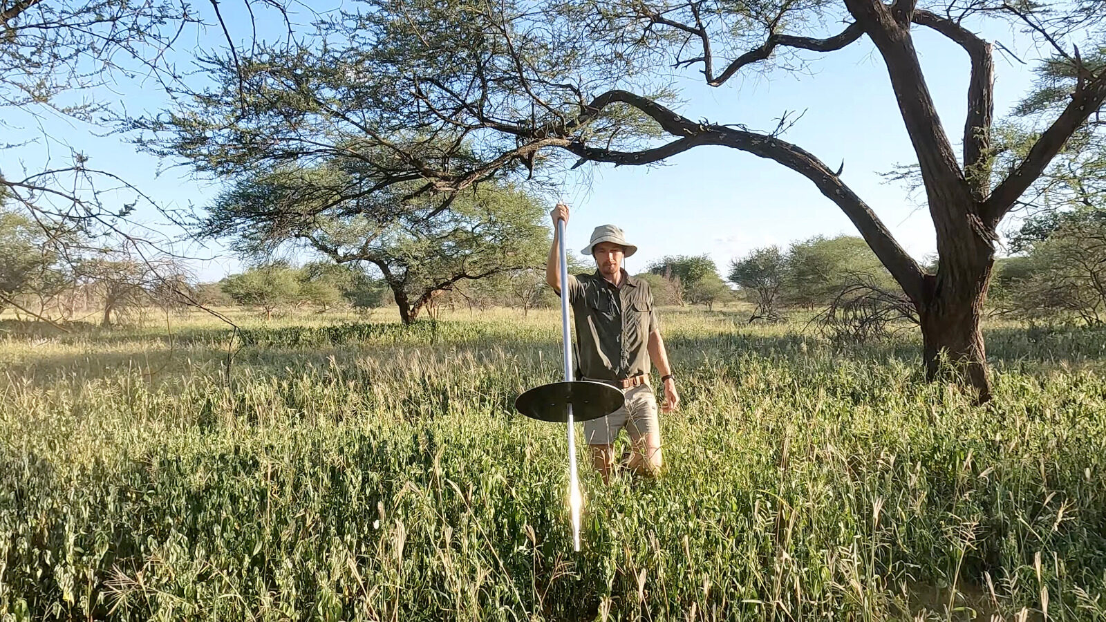
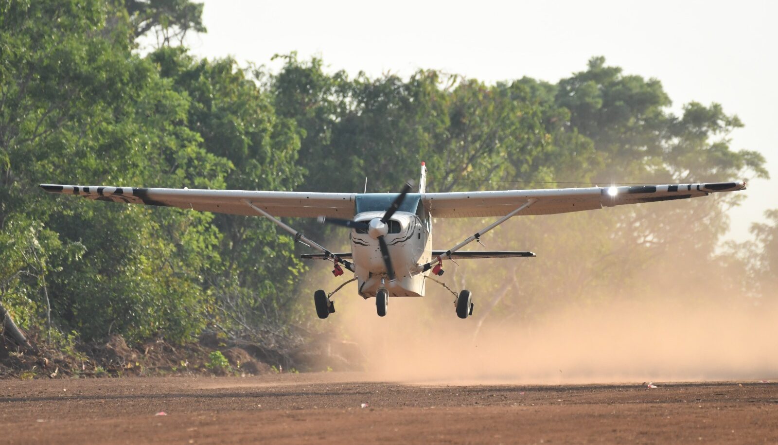
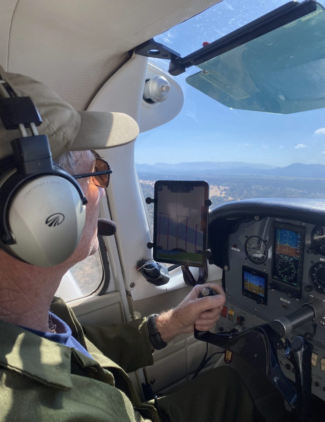
With Air Gorongosa, you can access professional aerial survey charter services for land, coastal, and ocean projects across Mozambique. We provide fully equipped aircraft, experienced pilots, and flexible flight operations to support your survey projects safely, efficiently, and on schedule. From flight planning to in-air operations, our team ensures every stage of your survey is executed with precision and reliability.
Whether your project requires topographical survey flights, coastal and marine operations, or large-scale land assessments, our aircraft and crew can be tailored to meet your specific requirements. With Safari Air Africa, you can focus on your project with confidence, knowing that your aerial survey flights are managed professionally and that high-quality survey data is delivered through our trusted partner network.